
Among apps for bicycling, OrganicMaps — organicmaps.app — stands head and shoulders above all others. Its main feature is turn-by-turn navigation with voice guidance, optimized for cycling routes although supporting hiking, walking, and even driving. Navigation data is derived from the crowd-sourced OpenStreetMap project, so it includes paths that are often missing from other apps, especially those exclusively open to cyclists and pedestrians. Most routes include information of particular value to cyclists, such as contour lines, elevation profiles, and grades with peaks and slopes.
It is free and open source. It guarantees full user privacy with no advertising or tracking. It does not require an always-on internet connection to operate because it locally caches navigational data by downloading crowd-sourced maps from the OpenStreetMaps project when connected, which is especially valuable in wilderness areas without cellular coverage. RI is 29MB, MA is 210MB, and CT is 150MB; RI and CT are statewide maps, but MA is divided into five regions, including Boston and Plymouth at a combined 113MB.

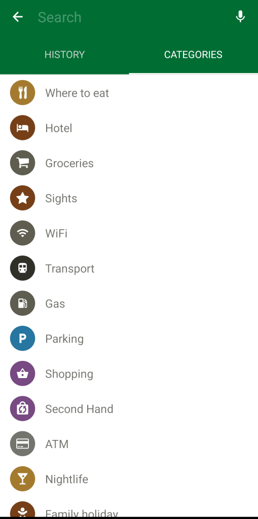
Battery-saving features are built-in, including selectable dark mode display. Fast offline searching allows for addresses as well as places of interest, such as hotels, food stores, sights, Wi-Fi hot-spots, transportation, fuel, parking, banks and ATMs, and so on. Bookmarks and tracks are accessible in commonly used formats (KML, KMZ, and GPX).
Versions of the apps are officially supported for Google Android (from Google Play and F-Droid) and Apple iOS (from the app store). A beta version is also available for Linux (from Flathub and as packages).


